Interesting Maps (30 pics)
- Category: Pics |
- 20 Jul, 2021 |
- Views: 3500 |

- +8
 |
|-
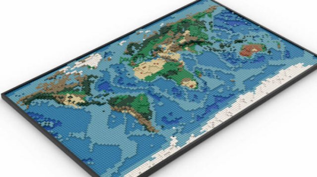
"This Is A LEGO World Map I Designed! I Spent Many Hours Staring At Google Earth And Topological Maps To Make This"
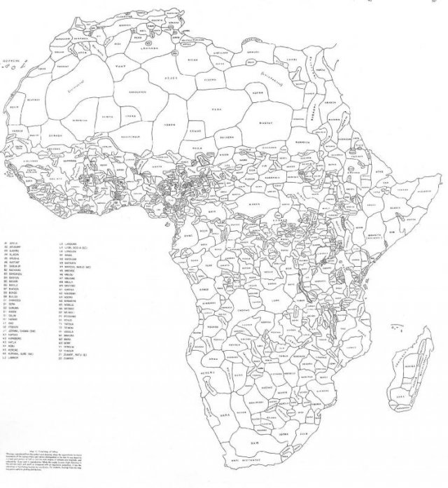
"Map Of Africa's Borders If Divided By Languages and Ethnicities"
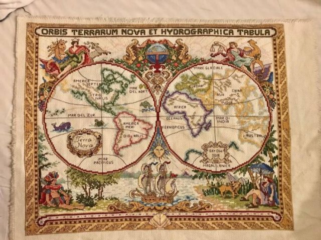
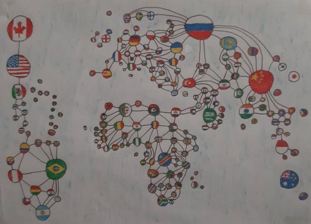
"Hello! I Was Told You Would Enjoy This- Took Me 3 Years!"
"World Map Of Borders"
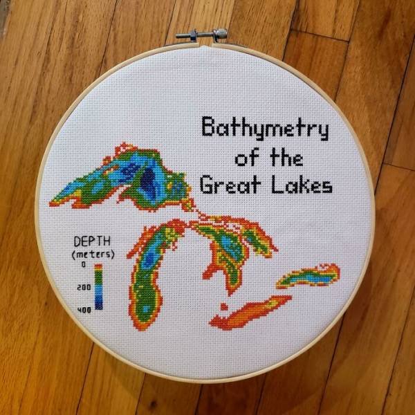
"Hello! I Cross Stitch Earth Science Maps And Have Been Told They Belong Here. Great Lakes Bathymetry Is My Favorite So Far"
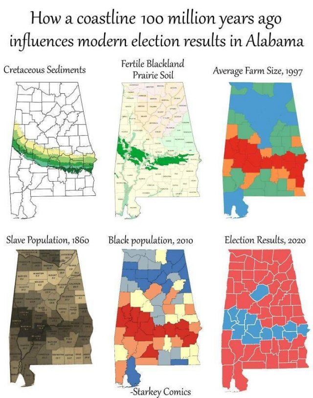
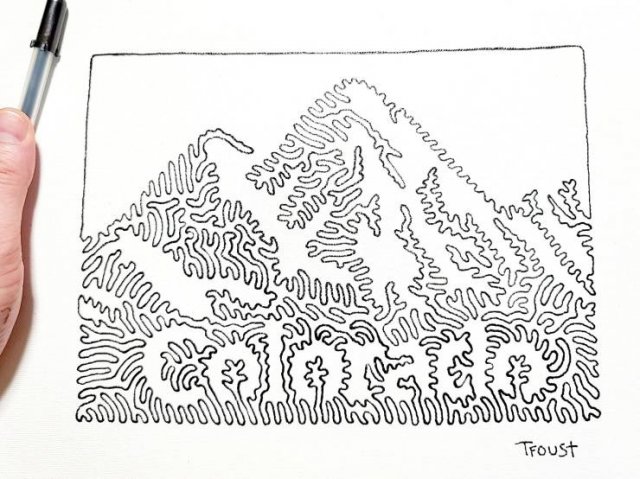
"I Am Working On A Picture Book With Each State Drawn With One Line. I Finished My 7th State Last Night"
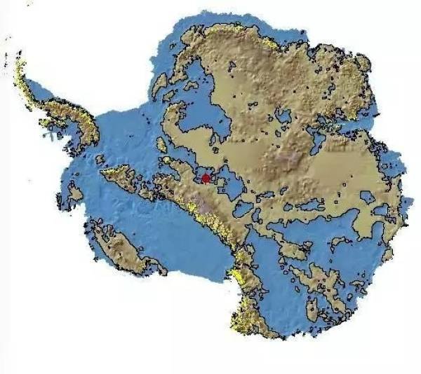
"Antarctica Without Ice, U Don't See That A Lot"
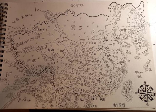
"Hand Drawn Map Of China And Neighboring Countries With Placenames In Mandarin (I Drew It As An Exercise To Memorise All The Provinces)"
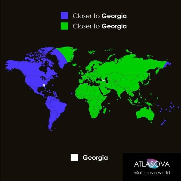
"Are You Closer To Georgia, Or To Georgia?"
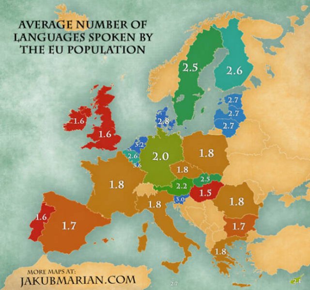
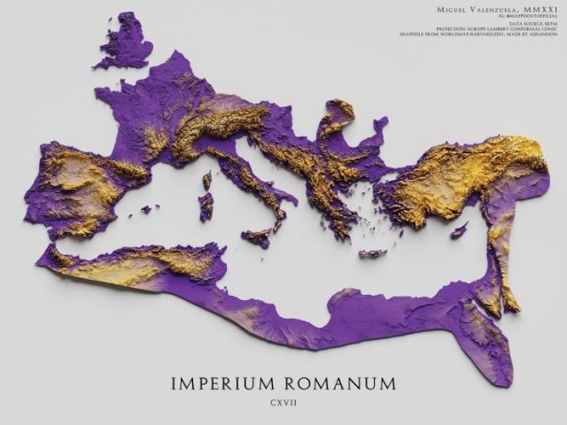
"The Topography Of The Roman Empire, Ad 117"
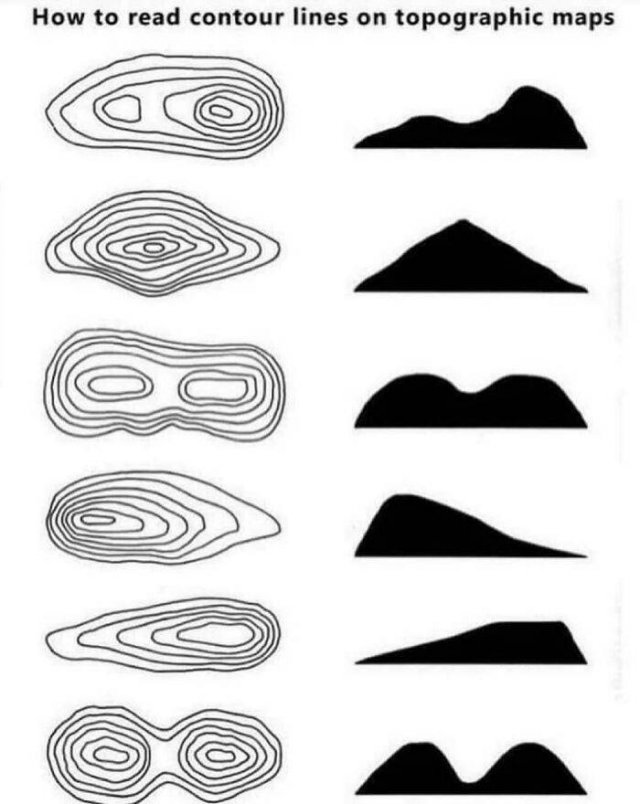
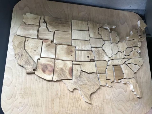
"This Is My Friends Wood Shop Project, Thought It Would Be Fitting Here"
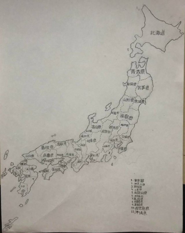
"I Drew A Map Of All Japanese Prefectures (Took 6 Hours). Hope You Like It"
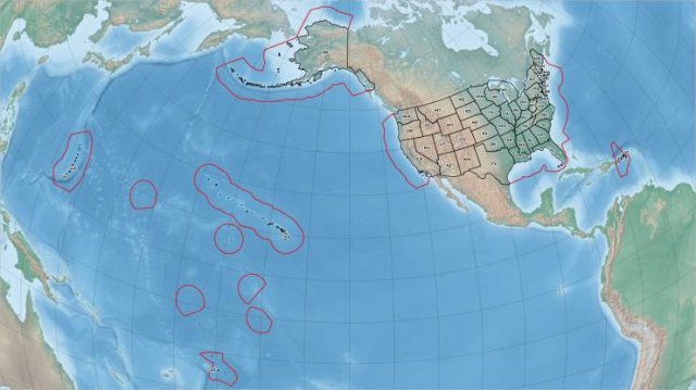
"The United States — All Of It"
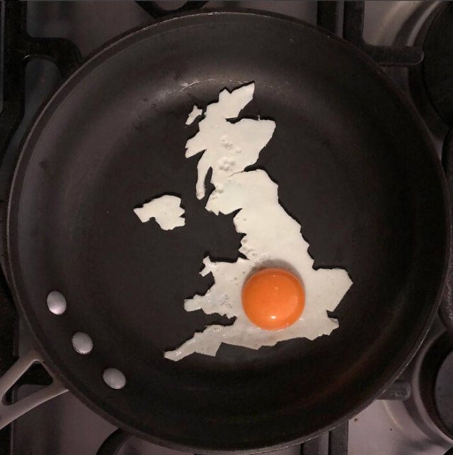
"What Are Your Thoughts On This Breggsit?"
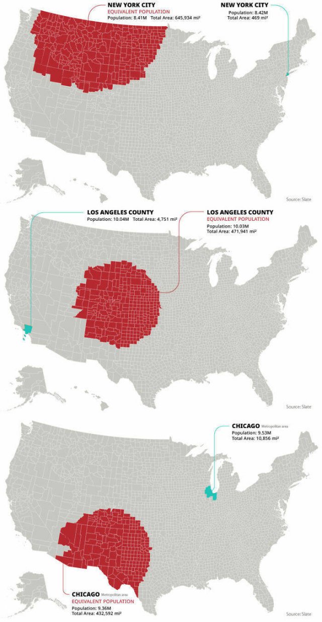
"Rural Equivalent Of New York City, Los Angeles And Chicago"
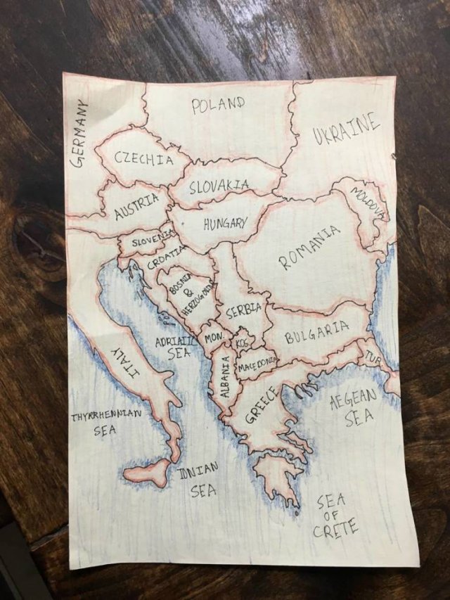
"My Son’s (12) Map Of The Balkans"
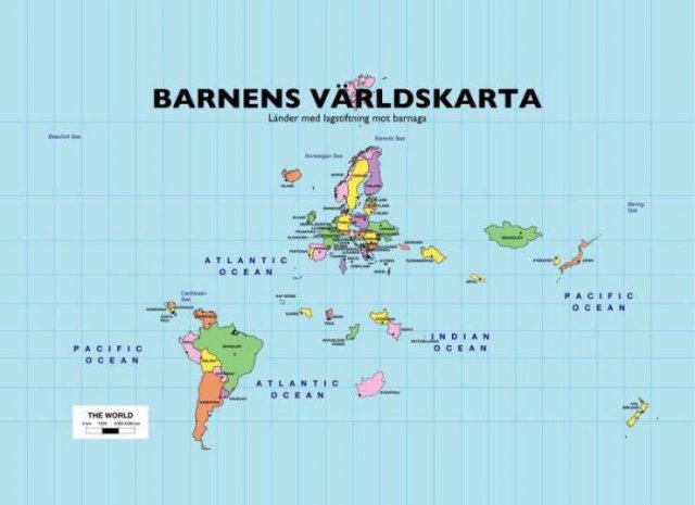
"Children’s Map Of The World (Only Shows Countries Where Smacking Children Is Illegal)"
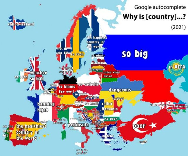
"Why Is [country]...? - Google Autocomplete Results (European Countires, 2021)"
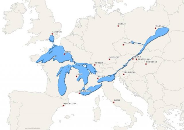
"The Great Lakes And Saint Lawrence River Superimposed On A Map Of Europe"
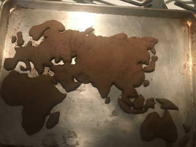
"I Made A Gingerbread Eastern Hemisphere!"
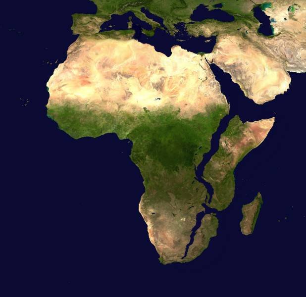
"Africa, 10 Million Years Later. (Based On Current Predictions And Data)"
"Territories Of Modern Ghana And Ghana Empire"

 |
|